»BATHS«, 2005 by Anthony Baab.

“All the Dead Stars” by Katie Paterson. A map documenting the locations of just under 27,000 dead stars – all that have been recorded and observed by humankind – from data supplied by astronomers, supernova hunters, and astro-physicists.
“The Eighth Chimney”, 2007,
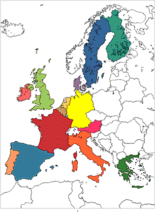
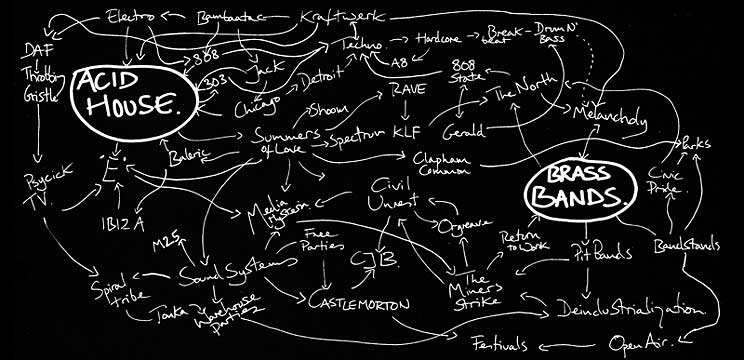
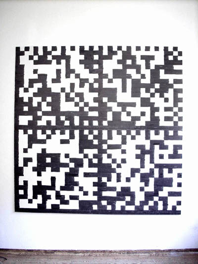
“Psycho-Mapping Europe”, 1998,
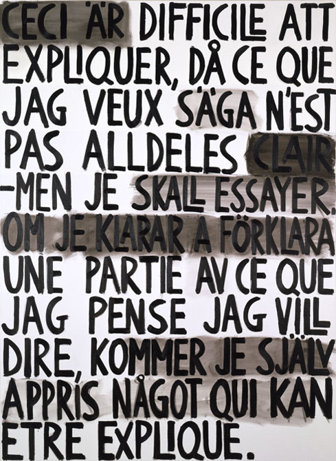
“Schwedisch-Französiche Mitteilung 1/5″, 2006 by Jan Svenungsson.
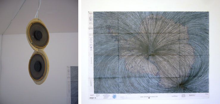
A sound piece monitoring the live magnetic field of the house and drawings from the “Magnetic” series by Justin Bennett.
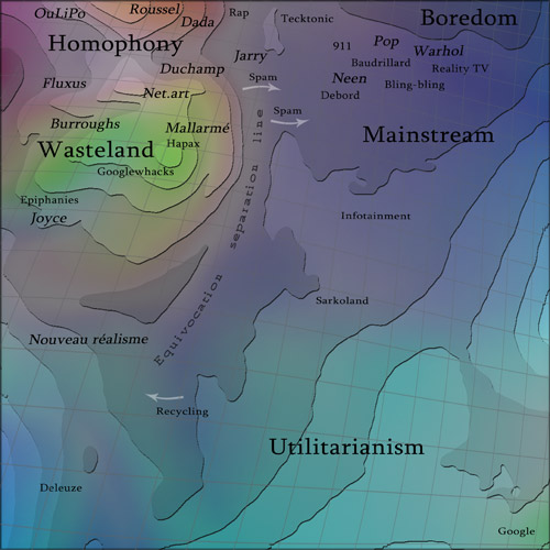
»Dadameter«, 2002-2008, Global index of the decay of the aura of language, By Christophe Bruno.
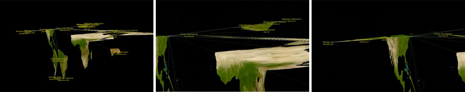
“Ping Geography” by Cristobal Mendoza translates the current network ping times into geographical distances.
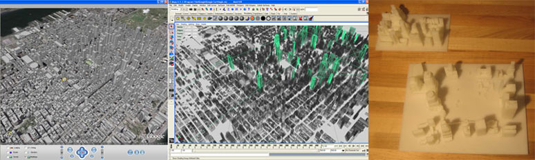
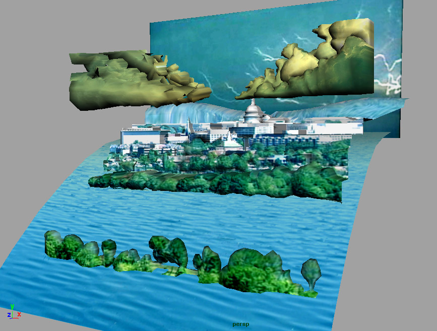
“OGLE: The OpenGLExtractor” by Eyebeam R&D. Example: 3D-printing Google Earth Buildings. “OGLE” is an open source software package by the Eyebeam OpenLab that allows for the capture and re-use of 3D geometry data from 3D graphics applications.
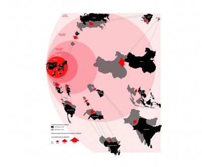
»AMO Atlas Worldwide«, 2002, is the visual representation of existing official data to show political, economical and social trends. By AMO.

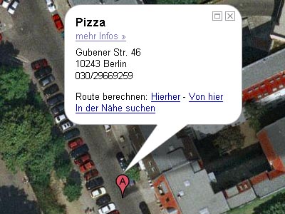
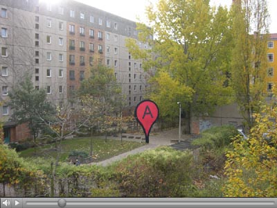
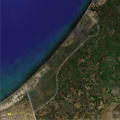
»Untitled (World Map)«, work in progress (red map pins placed on the cities where the artist already exhibited) by Matthieu Laurette.